


A strong El Niño is virtually certain to develop this year, federal scientists say, and may end up being one of the strongest such events on record.
The National Oceanic and Atmospheric Administration’s Climate Prediction Center said Thursday that there’s a 97% chance El Niño will be either “strong” or “very strong” over a three-month period ending this December. There’s an 81% chance it’ll be “very strong.”
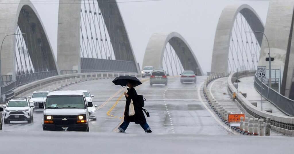
That could have a major impact in California, as strong El Niños significantly tilt the odds of expected weather outcomes during the winter. For the southern part of the state, that means a higher chance of above-average rainfall, risking a winter of flash floods and landslides.
Officials warn that the climate pattern — characterized by warmer water in the central and eastern tropical Pacific Ocean — will also increase the risk of heat waves on land and at sea, which are already being exacerbated by human-caused global warming.
Temperatures are already increasing in those parts of the Pacific. A section of those ocean waters in June was the fourth-warmest recorded for the month dating back to 1950, according to Michelle L’Heureux, physical scientist at the Climate Prediction Center and lead forecaster for governmental updates on El Niño.
“The warm pool of water in the western equatorial Pacific Ocean is expanding farther to the east,” L’Heureux said. Already, precipitation has been enhanced over the central and east-central tropical Pacific.
During three of the four “very strong” El Niños in the global record, downtown Los Angeles got significantly more rain than average. In two — 1982-83 and 1997-98 — downtown L.A. got more than double its usual yearly rainfall.
But the connection is not absolute. During the last “very strong” El Niño in 2015-16, downtown got only half its typical annual rainfall.
The “strong” El Niño of winter 2023-24 saw well-above average rainfall across coastal Southern California and slightly above-normal precipitation in coastal Northern California, the state Department of Conservation said. There was below-normal precipitation in interior areas like the Sierra Nevada and southeastern state deserts.
That winter brought the second-rainiest three-day period for downtown L.A. since recordkeeping began in 1877, and hundreds of landslides were reported around L.A. County.
That most recent “strong” El Niño also played a role in record global temperatures in 2024, saidCeleste Saulo, secretary-general of the World Meteorological Organization.
Along with warmer ocean water, El Niño is characterized by changing conditions in the atmosphere. The effect results in the typical east-to-west trade winds weakening or even sometimes reversing, allowing warmer water from the western Pacific to move eastward.
For California, this typically shifts the winter jet stream farther south, potentially bringing more storms to Southern California, according to NOAA.
El Niño is developing even as the oceans are already experiencing heat waves. The pattern is expected to prolong an unrelated existing marine heat wave off the coast of California, which otherwise would have been expected to start fading between October and December.
“The Pacific is experiencing a historic marine heat wave — but it’s far from alone. Every major ocean basin across the globe is currently experiencing unusually warm sea surface temperatures driven by climate change,” the nonprofit Climate Central said.
Andrew Leising, a research oceanographer at NOAA’s Southwest Fisheries Science Center, said at this point, “atmospheric changes due to El Niño are likely helping maintain these warmer-than-normal temperatures” off the Southern California coast. The marine heat wave there — which began last year — has been about the same size and area over the last month.
“We still expect to see warming due to El Niño begin sometime in later summer or fall, which will perpetuate these conditions, and likely expand the warmer-than-normal region further up the coast,” Leising said.
Another marine heat wave farther west off the coast of Northern California and Oregon began around May and “has slowly gotten larger and a little bit more intense,” he added.
Exceptionally warm waters are helping to fuel Super Typhoon Bavi, which is expected to hit Taiwan from Friday night through Saturday. According to the island’s Central News Agency, the typhoon could bring 35 inches of rain to the island’s northern mountains and dangerous waves up to 20 feet high, prompting officials to issue an unprecedented “mega wave” warning. Schools and offices in northern and eastern Taiwan were set to shut Friday due to the typhoon.
Besides boosting the odds of a wetter winter for Southern California, El Niño’s typical effects during wintertime in the Northern Hemisphere include wetter conditions for the rest of the southern U.S., southern South America and parts of the Horn of Africa and central Asia, according to the World Meteorological Organization.
Conversely, El Niño typically brings drier conditions to the Pacific Northwest, as well as Central America, northern South America, the Caribbean, Australia, Indonesia, and parts of southern Asia, experts said.