

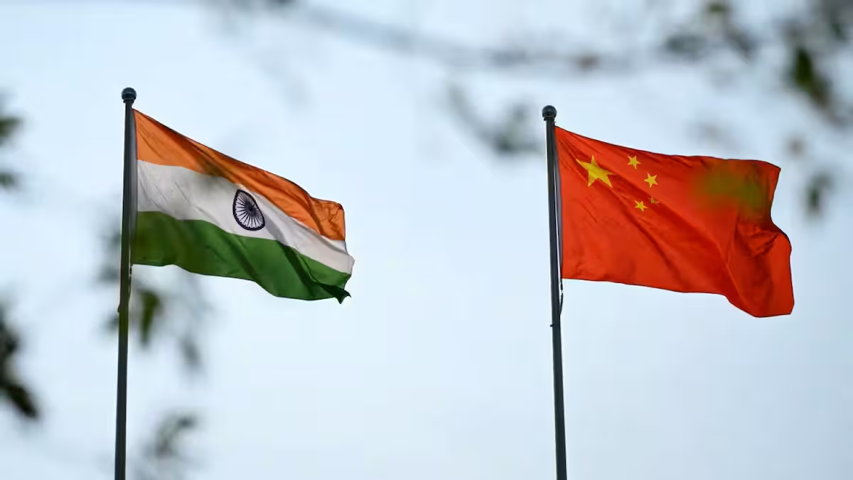
The latest dispute centres on the naming of geographical features in Arunachal Pradesh, but the underlying issue is much larger: the unresolved India-China boundary dispute and the two countries’ competing territorial claims.
What triggered the latest dispute?
On August 7, the Indian Home Ministry announced that 27 locations and geographical features had been identified by their standard names on official Survey of India maps, in consultation with the Arunachal Pradesh government.
The list comprises 21 land areas, four mountain passes, a lake and a monument. It includes locations along the McMahon Line that have previously witnessed tensions between India and China, including Longju and Thag La.
China objected to India’s announcement. Beijing said it does not recognise what it called the “so-called Arunachal Pradesh” and described India’s exercise as “illegal, null and void”.
India rejected the position. MEA spokesperson Randhir Jaiswal, during a biweekly press briefing, said Arunachal Pradesh remains an “inalienable and integral part of India”, adding that nothing could change this “indisputable reality”.
Why is Arunachal Pradesh disputed?
Arunachal Pradesh is at the centre of a long-running territorial dispute because China claims the state as part of what it calls “South Tibet”. India, however, maintains that Arunachal Pradesh is an integral part of the country.
A key point of disagreement is the McMahon Line, which broadly defines the boundary between India and China in the eastern sector. India recognises the line as the boundary, while China does not accept it.
The dispute is therefore not simply about individual villages, mountains or geographical features. It is part of a much larger disagreement over where the India-China boundary lies.
Arunachal Pradesh is also strategically important because of its location along India’s northeastern frontier and its proximity to Tibet and China’s southwestern region. This makes developments along the border significant for both security and bilateral diplomacy.
Why do place names matter?
Maps and place names can be more than geographical references in territorial disputes. They can also serve as a form of diplomatic and political signalling.
China itself has repeatedly used such measures. Since 2017, Beijing has released six lists assigning Chinese names to locations in Arunachal Pradesh. The latest list, covering 23 places, was issued in April.
India’s decision to use standard names for locations in Arunachal Pradesh can therefore be viewed in the context of this broader contest over territorial claims and sovereignty.
Neither side’s naming exercise by itself changes control of territory. But such actions reinforce each country’s stated position on the disputed boundary and can become a source of diplomatic friction.
What is happening along the border?
The latest dispute has coincided with reports alleging People’s Liberation Army activity and a possible face-off near the Taksing region in Upper Subansiri. These claims have not been officially confirmed.
The MEA did not comment directly on whether a face-off had occurred. Instead, it reiterated that peace and tranquillity along the border have been emphasised in conversations with China.
India has also repeatedly made clear that the state of the border will have a bearing on the broader relationship with China.
That position is significant because the two countries have been trying to stabilise ties after the military standoff that began in 2020.
Why is the border so important to India-China ties?
The 2020 military confrontation along the Line of Actual Control fundamentally changed the relationship between the two countries.
While India and China have taken steps to reduce tensions and disengage forces at some friction points, the border remains a central factor in determining the overall state of bilateral ties.
For New Delhi, the logic is straightforward: progress in other areas of the relationship cannot be completely separated from developments along the disputed boundary.
That is why even an issue such as geographical naming can acquire significance beyond cartography. If border tensions rise, they can affect diplomatic engagement, political trust, trade and broader cooperation.
Conversely, sustained peace and tranquillity along the LAC can create conditions for the two sides to rebuild confidence and address other areas of the relationship.
Why does the issue matter now?
The latest developments come as India and China attempt to stabilise ties following years of military and diplomatic tensions.
They also come just weeks before India hosts the BRICS summit, which Chinese President Xi Jinping is expected to attend. That gives the broader relationship additional diplomatic significance.
The two countries held discussions on August 6 and reviewed the situation along the Line of Actual Control. The meeting was described as involving “frank discussions”.
The immediate dispute over the naming of locations may therefore appear limited, but it highlights a much larger problem that remains unresolved: the India-China boundary has yet to be settled, and developments along the border continue to influence the broader relationship.
For India, the message to Beijing remains that peace along the border is not separate from the relationship — it is a prerequisite for its normalisation.