

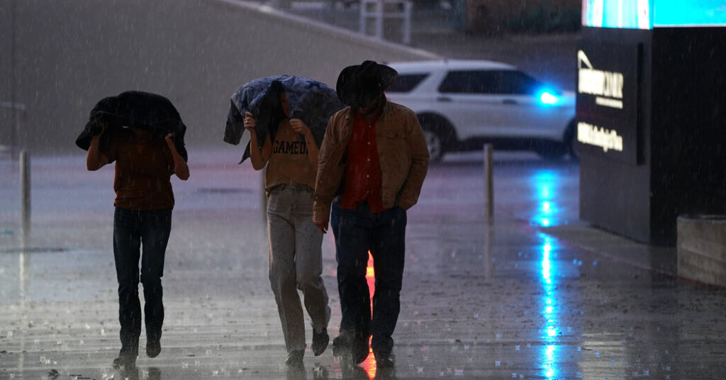
The National Weather Service issued a rare high-risk alert for excessive rain in parts of Texas on Tuesday, as days of relentless downpours compounded an already dangerous flash-flooding threat. Forecasters have become very concerned about additional heavy rain falling on Tuesday and into Wednesday morning in an area of southwestern Texas that has already been hit hard. They said some pockets in the highest risk area could record an additional 10 to now 20 inches of rain.
They said that radar estimates of how much rain has fallen already this week have shown totals of between six inches to potentially even a foot in Medina, Uvalde and Bandera counties, prompting reports of numerous flooded roadways and water rescues.
Gov. Greg Abbott said emergency services across the state, including the National Guard and its Black Hawk helicopters, were poised to respond to the potentially treacherous conditions.
The Weather Service said the risk of significant flash flooding is forecast to continue between Hill Country and the Rio Grande, and with additional heavy rain tonight some areas could approach “catastrophic” flooding conditions.
A high risk of excessive rainfall means that meteorologists are fairly confident that flash flooding could occur within 25 miles of an area, and it’s a level of alert they only rarely issue. Over the past decade, some of the deadliest and most destructive floods have occurred in areas that forecasters said were at this level of risk. Areas that don’t usually experience flooding might in this case.
While the most significant danger is in West Texas, there is at least some risk for flooding across the state and into Louisiana, including in well-populated areas like San Antonio, Austin and Houston. San Antonio and Austin are on the edge of heaviest rainfall, and it is possible that they cold see flooding in the next few days as well.
The experts with the Weather Prediction Center, an arm of the National Weather Service that monitors for excessive rainfall, wrote in their latest forecast that this weather pattern could produce “surprises,” because the atmosphere is very moist all the way into Louisiana.
Flood watches blanketed a third of the state on Tuesday, and many will remain in effect through Thursday. More urgent flash flood warnings, a signal that flooding is imminent or has already begun, dotted the landscape, a routine that forecasters said was likely to continue through the week as the rain fell.
Heavy rain and flash flooding are not uncommon in Texas in mid-July. It was just over a year ago that a weekend of devastating flooding killed more than 130 people in Central Texas, including 25 young campers along the Guadalupe River in Hill Country.
By Thursday, forecasters said, the chance of flooding should begin to diminish across the state, leading to a dry weekend.